
Every now and then, a community has a terrible day. Or in this case, a terrible five months.
 |
| Deposit Photos |
In the nearby town of Little Prairie, near present-day Caruthersville, the town itself and most of the surrounding land sank, to be inundated by the Mississippi River. The residents who waited until dawn to evacuate faced trekking eight miles through waist-high water.
And this was only the beginning. On January 23, 1812 and February 7, 1812, two more major earthquakes rocked the area. While estimates of the strength of these quakes vary widely, the December quake may have been as strong as 8.1 on the Richter scale. The “hard shock” in February has estimates as high as 8.8, which would put it on the list of top ten earthquakes of all time. Since the Richter Scale is logarithmic, the February shock would have been close to ten times stronger than the first earthquake in December.
 |
| Barge on the Mississippi River--Deposit Photos |
During the five months around these earthquakes, the area experienced over 2000 earthquakes. Stop and think about that for a minute. That’s 400 earthquakes a month. Thirteen earthquakes a day. An earthquake every TWO HOURS. During many of these quakes, fissures opened. Some were only a few feet deep and a couple of dozen feet long, but some extended for miles. Some fissures closed nearly as soon as they opened, some closed after a few hours, but some remained until filled by nature. A few fissures measured 12 feet deep in 1912—100 years after their formation.
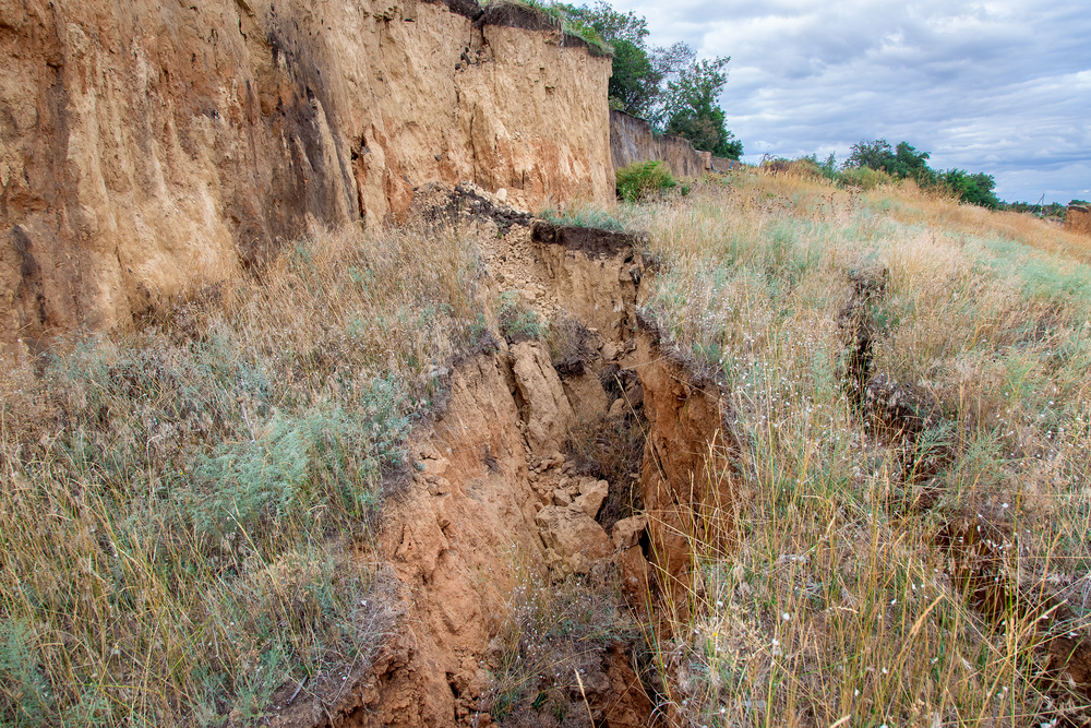 |
| Fissure--Deposit Photos |
This area of the country was sparsely populated at this time, but people throughout the modern continental United States felt these quakes. Records show they were felt as far away as Canada to the north, the Atlantic Coast to the east, and the Gulf of Mexico to the south. There are fewer records from the west, but they were felt at least as far away as Nebraska. That is nearly 1000 miles in any direction. The first quake rang church bells as far away as Boston, Massachusetts, and Charleston, South Carolina. In all, the earthquakes could be felt over twenty-seven states and an estimated two million square miles.
 |
| Outline of Missouri--Deposit Photos |
The quakes left their mark in other ways. The most famous is Reelfoot Lake, a shallow lake covering 15,000 acres that was formed during the quakes.
 |
| Reelfoot Lake--Deposit Photos |
This seismic zone is something of a scientific mystery. Most earthquakes and volcanoes occur along plate boundaries, such as the fault lines in California and the Ring of Fire circling the Pacific Ocean. Missouri is in the middle of the North American Plate. Since the mechanism is so poorly understood, predictions of the next great quake vary widely. Going on a strictly historical basis, we are overdue for our next moderate-to-strong quake in the area. Some new theories link the zone to the retreating glaciers of the last ice age and suggest that the fault line is not dormant but dying. One thing history has told us is that earthquakes are unpredictable, and the Missouri fault is no exception.

Martha Hutchens is a transplanted southerner who lives in Los Alamos, NM where she is surrounded by history so unbelievable it can only be true. She won the 2019 Golden Heart for Romance with Religious and Spiritual Elements. A former analytical chemist and retired homeschool mom, Martha is frequently found working on her latest knitting project when she isn’t writing.
Martha’s current novella is set in southeast Missouri during World War II. It is free to her newsletter subscribers.

After saving for years, Dot Finley's brother finally paid a down payment for his own land—only to be drafted into World War II. Now it is up to her to ensure that he doesn't lose his dream while fighting for everyone else's. No one is likely to help a sharecropper's family.
Nate Armstrong has all the land he can manage, especially if he wants any time to spend with his four-year-old daughter. Still, he can't stand by and watch the Finley family lose their dream. Especially after he learns that the banker's nephew has arranged to have their loan called.
Necessity forces them to work together. Can love grow along with crops?
Sign up for my newsletter, and receive your free novella. You can unsubscribe at any time.
This comment has been removed by the author.
ReplyDeleteThis comment has been removed by the author.
DeleteGosh, sorry, let me start again! If this is your first time here on the blog, welcome! What a post! I would be so terrified if I had lived through this.
ReplyDeleteThis is not too far from where I live now. I drive past the museum on the way to church each Sunday, and I want to visit. Thanks for sharing.
ReplyDelete